- Over 50 routes described and illustrated, with positions of locks, towns and villages
- Through routes from the English Channel and Atlantic to the Mediterranean, plus distances
- Suitable boats for the canals, and dimensions of locks and operating times
- Bridge heights, canal depths, fuelling points, waterway signals
- Cost of living, shopping and stores
- Weather information, haltes and portes de plaisance
- Port plans for Paris, Dunkerque and Strasbourg
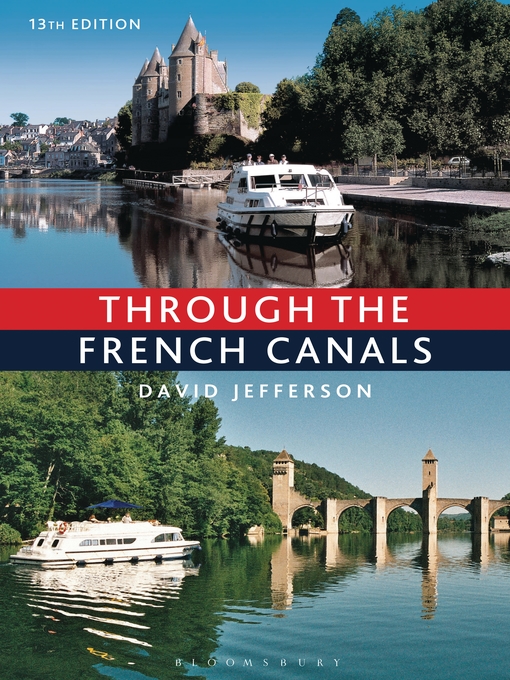
Packed with appealing photographs and updated information on local facilities, distances, bridge heights and depths, tunnel lengths, costs of cruising and shopping, it also discusses the local wines of the region.
-
Creators
-
Publisher
-
Release date
April 24, 2014 -
Formats
-
OverDrive Read
- ISBN: 9781472907134
-
-
Languages
- English
Why is availability limited?
×Availability can change throughout the month based on the library's budget. You can still place a hold on the title, and your hold will be automatically filled as soon as the title is available again.
The Kindle Book format for this title is not supported on:
×Read-along ebook
×The OverDrive Read format of this ebook has professional narration that plays while you read in your browser. Learn more here.